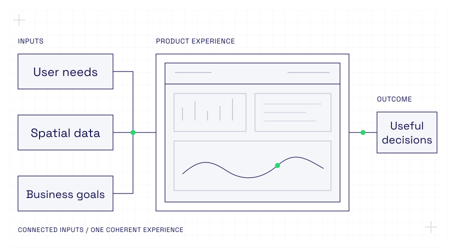
Conceptual diagram: user needs, spatial data and business goals connect into one product experience, which leads to useful decisions.
Conceptual model · not a client interface

Transport

Accelerating adoption of an asset intelligence AI product.

A strategic UX and interface review and redesign to support greater adoption of a complex enterprise capability. We delivered a working prototype in ArcGIS Experience Builder and ArcGIS Hub, detailed development specifications and the design governance needed to maintain a consistent experience through production rollout.

  • Product strategy
  • UX and interface design
  • Esri
Read case study: Accelerating adoption of an asset intelligence AI product
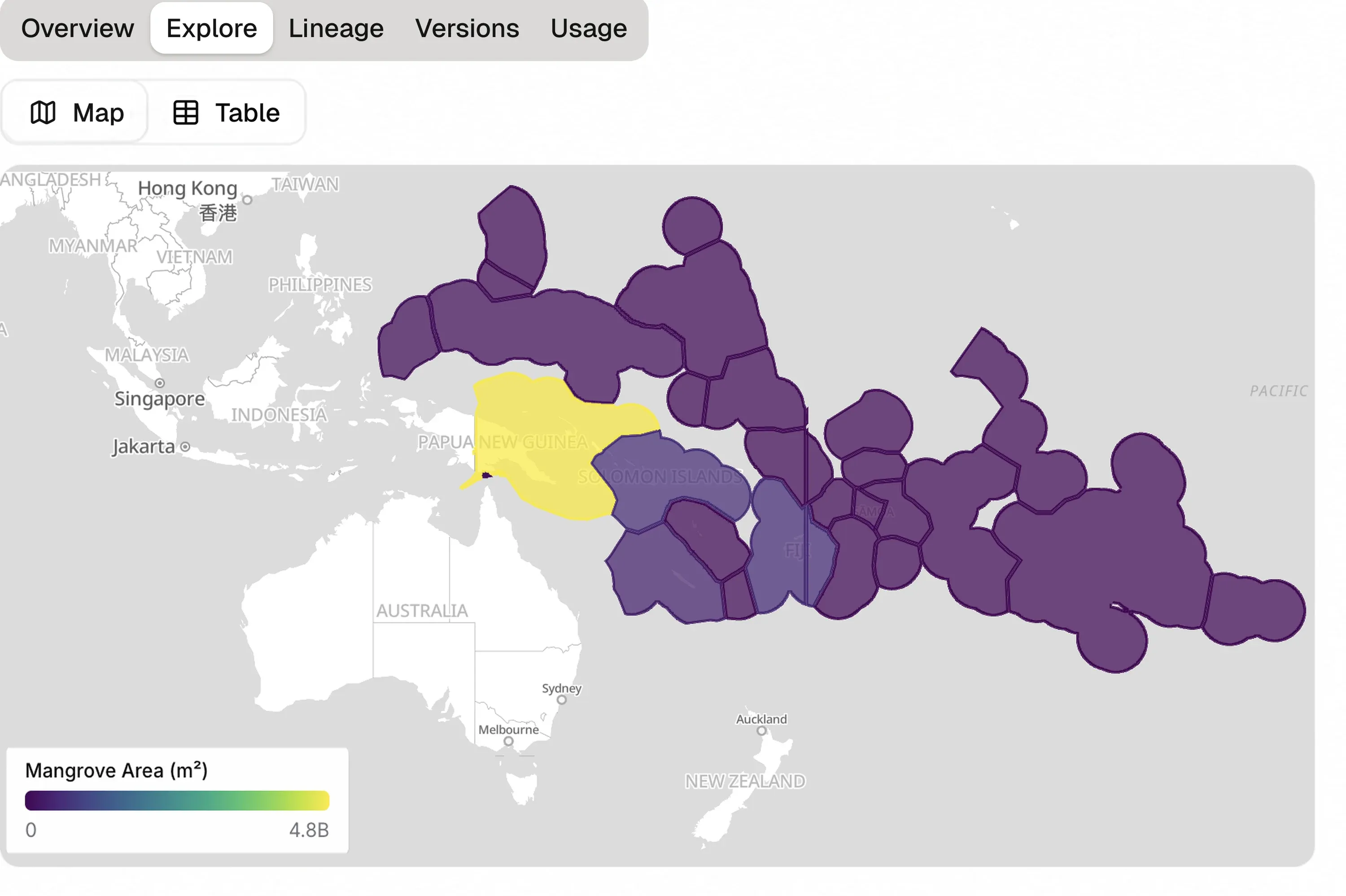
The Ocean Accounting platform's Explore view, mapping mangrove area across South-East Asia and the Pacific with a purple-to-yellow colour scale.

Sustainability

Designing a data publishing platform for Ocean Accounting.

A proof of concept for publishing, analysing and exploring Ocean Accounting data at scale. We worked with the UNSW Centre for Sustainable Development and supported the Auspatious development team with the design of the open-source platform.

  • Spatial data design
  • UX and interface design
  • Open source
Read case study: Designing a data publishing platform for Ocean Accounting
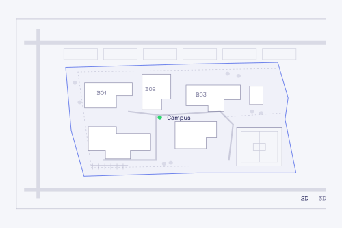
Line illustration of a fictional school campus map, with building footprints B01 to B03, a site boundary, paths and 2D and 3D view controls.

Education

Uplifting a school infrastructure digital twin.

User research and strategic redesign to transform a proof of concept into a more coherent, usable product. We designed within an enterprise design system and Esri technology environment, then worked closely with stakeholders and developers through implementation.

  • Product strategy
  • UX and interface design
  • Esri
Read case study: Uplifting a school infrastructure digital twin

More selected work

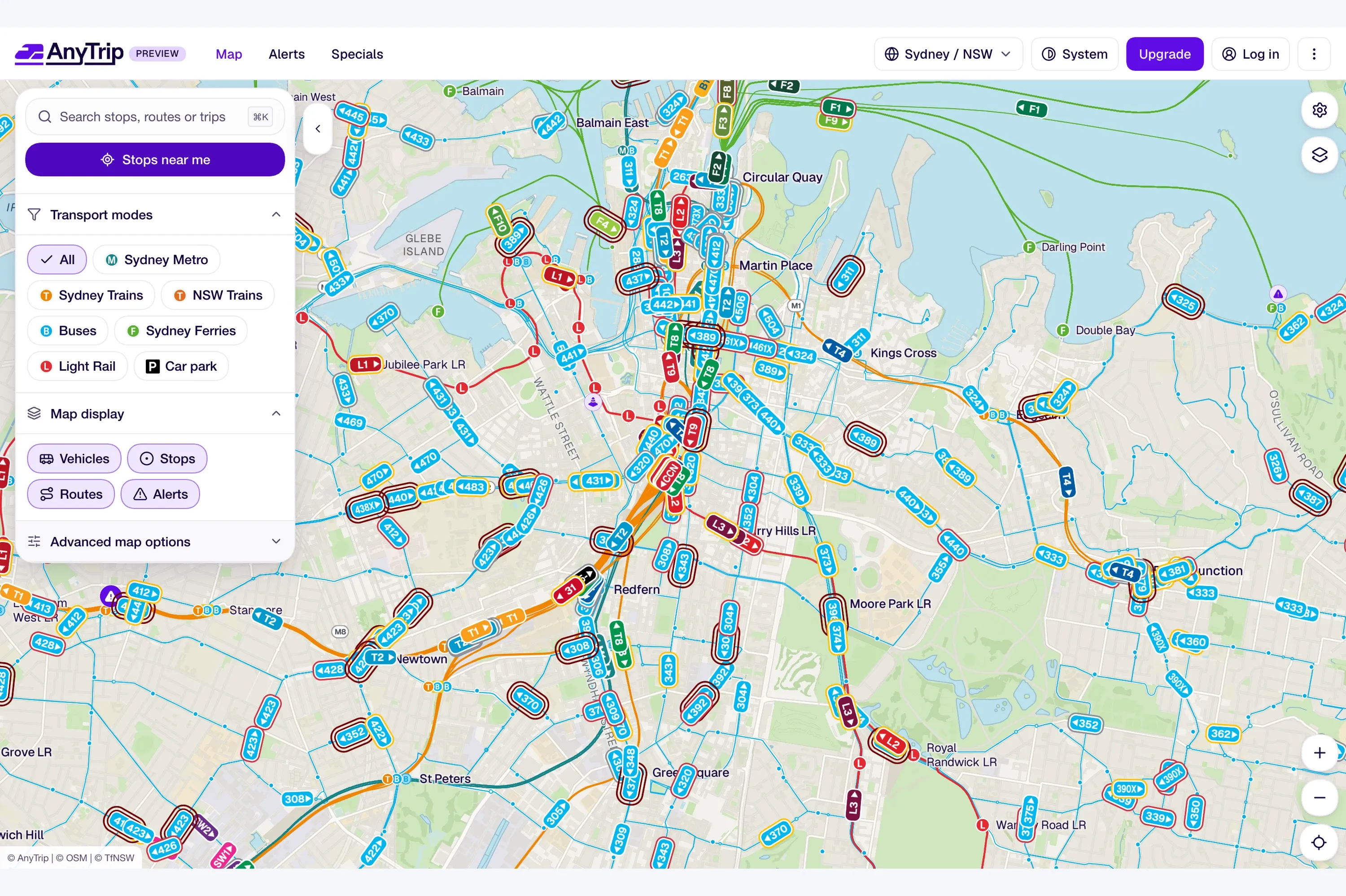
The AnyTrip live service map of Sydney, showing vehicles on train, bus, ferry and light rail routes, with transport mode filters in a side panel.

Transport

Embedded product support for a transit startup.

Ongoing product strategy and hands-on design support within a development team, helping the business evolve its product offering and support growth.

  • Product strategy
  • UX and interface design
  • Custom build
View project: Embedded product support for a transit startup
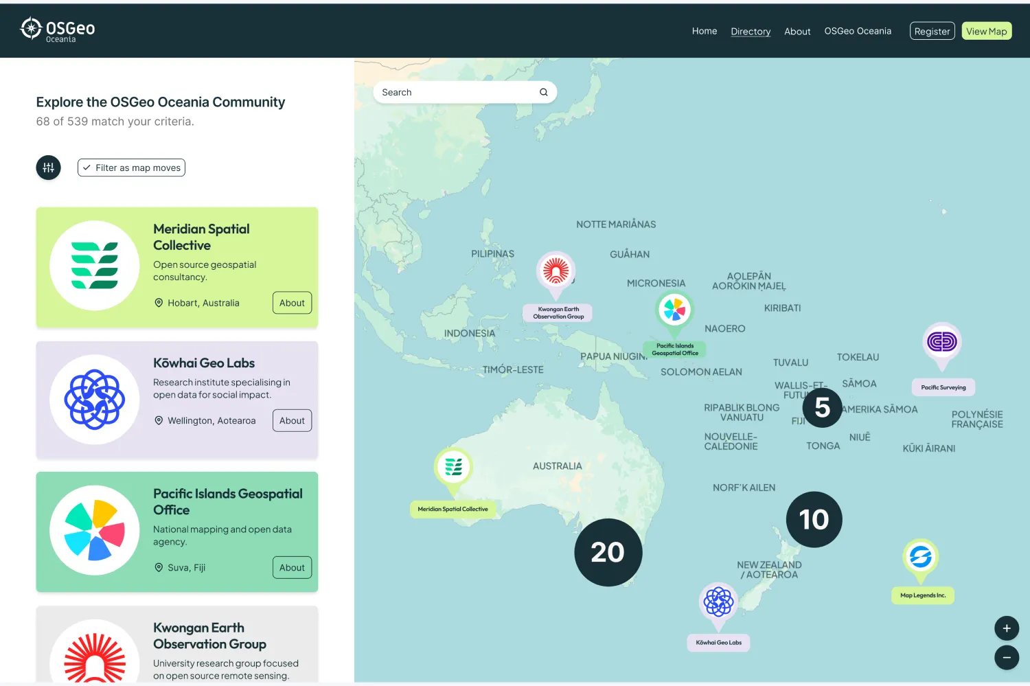
The OSGeo Oceania community directory, with organisation cards listed beside a map of the Pacific showing member locations and clusters.

Open-source community

Growing the open-source geospatial community in Oceania.

End-to-end delivery of the Oceania capabilities map and directory for FOSS4G Oceania, bringing product strategy, design, development and user testing together for the open-source platform.

  • End-to-end product delivery
  • Open source
  • Custom build
View project: Growing the open-source geospatial community in Oceania
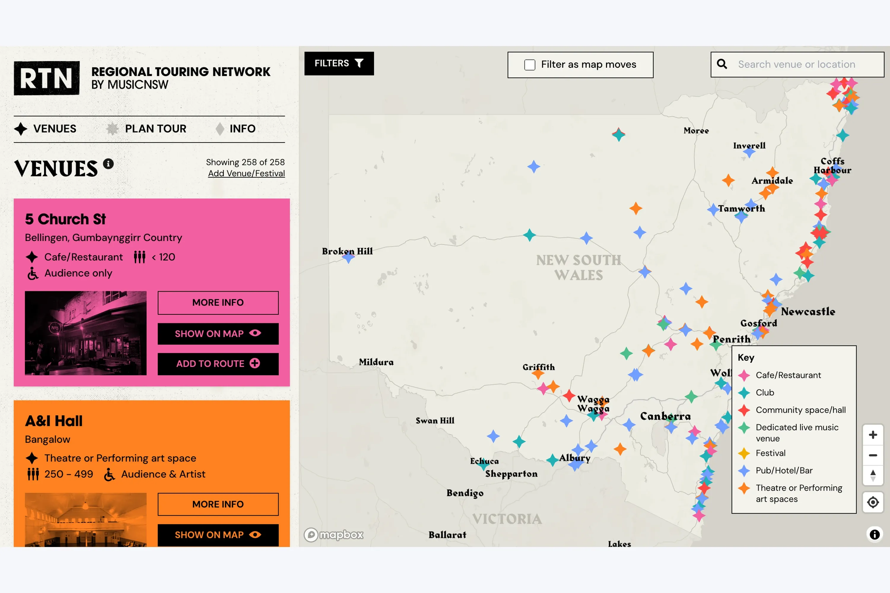
The Regional Touring Network by MusicNSW, listing venues such as 5 Church St in Bellingen beside a map of New South Wales marked with venue types.

Impact

Helping musicians plan their next regional tour.

A venue directory and route-planning product designed and developed for MusicNSW, helping artists discover venues, explore regional opportunities and build touring routes.

  • End-to-end product delivery
  • Custom build
View project: Helping musicians plan their next regional tour

Organisations we’ve worked with

Selected organisations we’ve supported through direct engagements and work with delivery partners.

Government & academia

Spatial industry

Impact & community

Tell us what you are trying to build, prove or improve.

Get in touch