Case study / Open-source community

Growing the open-source geospatial community in Oceania.

End-to-end delivery of an open-source capabilities map and directory, helping people discover geospatial providers and expertise across Oceania.

  • End-to-end product delivery
  • Open source
  • Custom build
Visit project (opens in a new tab)

At a glance


Challenge
Make the region’s open-source geospatial providers and capabilities easier to discover.
Our role
Product definition, data structure, design, development and user testing for FOSS4G Oceania.
What the work established
A searchable capabilities map and directory, refined through community feedback and published as open source.
Project stage
Delivered through launch, with ongoing support.
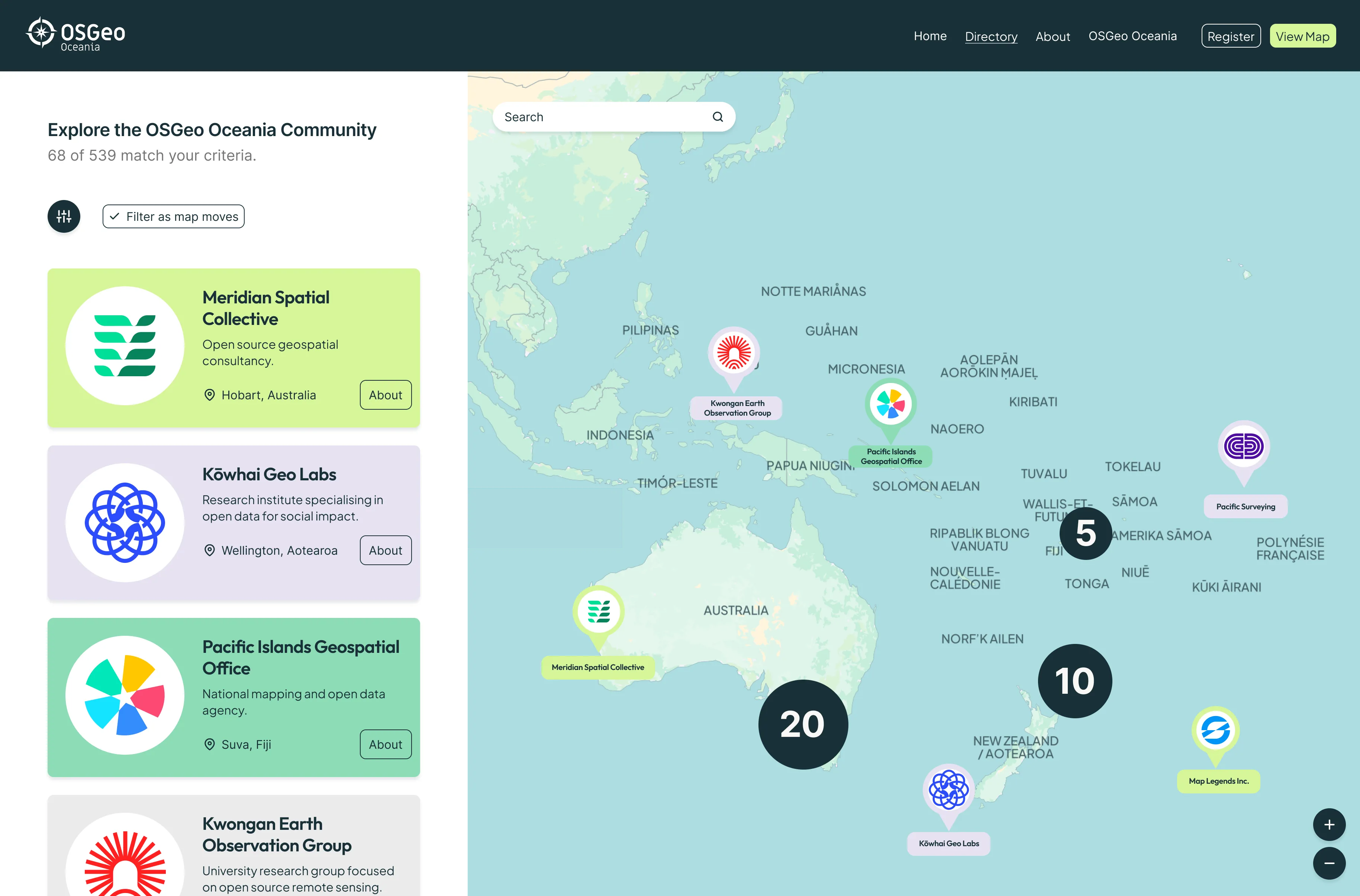
The OSGeo Oceania capabilities map. A list headed “Explore the OSGeo Oceania Community”, showing 68 of 539 matches, holds organisation cards such as Meridian Spatial Collective in Hobart, Kōwhai Geo Labs in Wellington and the Pacific Islands Geospatial Office in Suva. Beside it, a map of the western Pacific shows organisation markers and numbered clusters across Australia, Aotearoa New Zealand and the Pacific Islands, with a search field and zoom controls.
OSGeo Oceania / capabilities map and community directory

The full case study continues below

FOSS4G Oceania wanted to make the region’s open-source geospatial capabilities and providers easier to discover.

Cartisan led the product from definition through to launch. We shaped the direction, structured the directory data, and designed and developed the searchable capabilities map.

Rounds of user testing and community feedback helped refine the product throughout delivery and ensured it reflected the needs of the people it was intended to support.

The finished product was published as an open-source tool, allowing the wider community to use, maintain and build on the work.

Our contribution

  • Product strategy and definition
  • Directory and data structure
  • Spatial search and discovery
  • UX and interface design
  • Prototyping
  • Product development
  • User testing and community feedback
  • Managed end-to-end delivery
  • Open-source publication and ongoing support
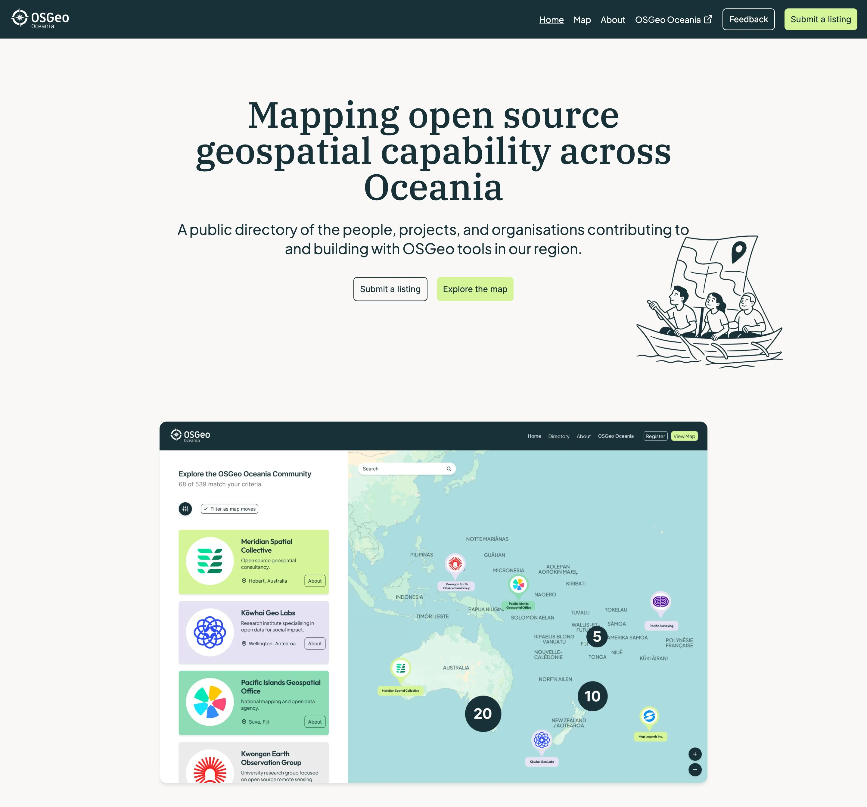
The OSGeo Oceania landing page. It reads “Mapping open source geospatial capability across Oceania”, describes a public directory of the people, projects and organisations building with OSGeo tools in the region, and offers Submit a listing and Explore the map buttons above a hand-drawn illustration of three people paddling a boat with a map for a sail and a preview of the directory.
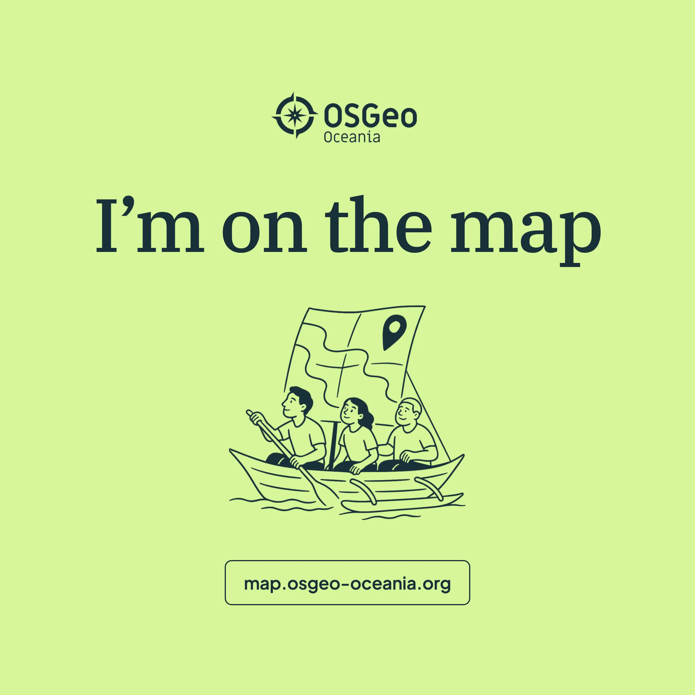
A green square campaign graphic reading “I’m on the map”, with the paddling-boat illustration and the address map.osgeo-oceania.org.
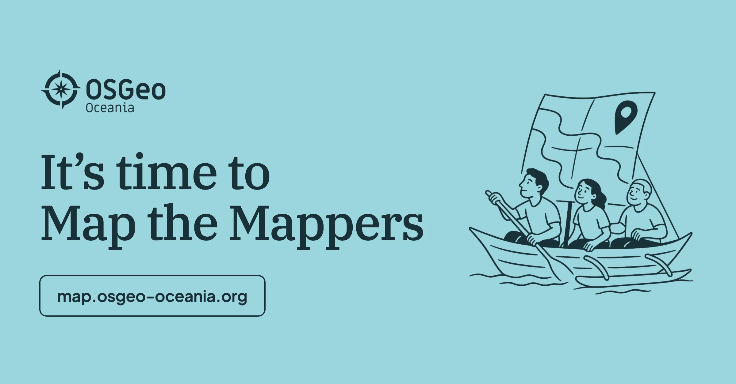
A blue banner campaign graphic reading “It’s time to Map the Mappers”, with the paddling-boat illustration and the address map.osgeo-oceania.org.
OSGeo Oceania / community campaign materials and website launch

Have an open-source geospatial idea that needs to become a working product?

We can take it from initial direction through design, development, testing and launch.

Get in touch